What We Do
PRECISION FROM EVERY ANGLE
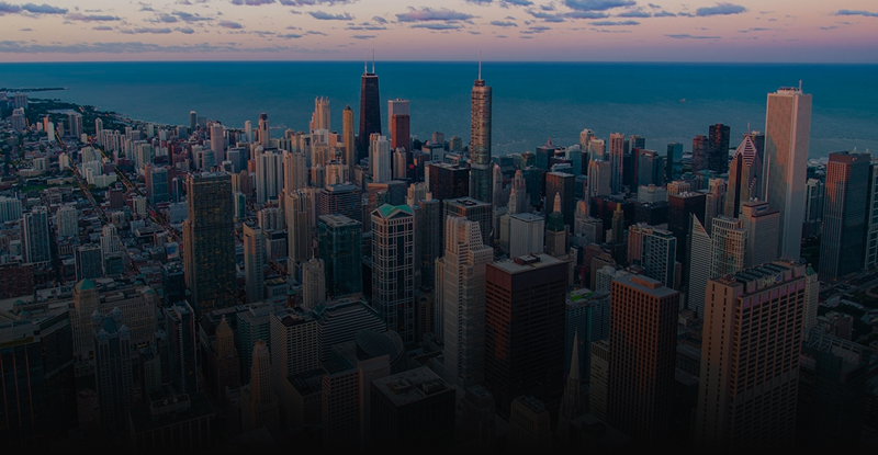
Building envelopes are the first line of defence against moisture, heat loss, and structural degradation. Traditional inspection methods, scaffolding, rope access, and manual walkthroughs — are slow, costly, and inherently limited in scope. Our aerial thermal inspection platform changes that equation entirely.
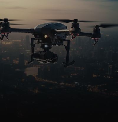
We deploy professional-grade radiometric thermal drones operated by ITC-certified thermographers to survey entire building facades in hours. Every inspection combines 4K RGB imagery with calibrated infrared data to deliver a complete picture of your building's thermal performance, from rooftop membrane to ground-level cladding.

What We Offer
INSPECTION CAPABILITIES
Every building envelope inspection is scoped for complete coverage. Our certified pilots and ITC thermographers assess facade elements that are otherwise inaccessible — without interrupting building operations or displacing occupants.
Full Facade Thermal Coverage
Systematic aerial survey of the entire building envelope from ground level to rooftop. Calibrated infrared imaging captures heat signatures across every facade plane without scaffolding or rope access.
Water Intrusion & Moisture Mapping
Detection of moisture infiltration behind cladding, within wall assemblies, and at roofing membrane transitions. Thermal differentials reveal trapped water invisible to RGB cameras and visual inspection alike.
Heat Loss & Thermal Bridging
Identification of insulation voids, thermal bridging through structural members, and heat-loss pathways at windows, doors, and wall-to-roof junctions, critical for energy efficiency audits and code compliance.
Air Barrier Deficiency Detection
Pinpointing breaches in air barrier continuity at joints, penetrations, and transitions. Air leakage pathways generate distinct thermal signatures under pressurization or climatic temperature differential conditions.
Cladding & Roofing Membrane Integrity
Assessment of panel bonding, sealant condition, membrane adhesion, and surface deterioration across stucco, metal cladding, EIFS, and flat or sloped roofing assemblies at full building scale.
Annotated Findings Report
Georeferenced RGB and thermal imagery, anomaly maps with priority grading, and clear actionable recommendations — delivered within 48 hours of the inspection mission, formatted for engineers and property managers.
Thermal Advantage
WHAT THERMAL
REVEALS
The naked eye misses what calibrated infrared imaging catches. Moisture trapped within wall assemblies, failing air barriers, and heat-loss pathways all register as distinct thermal signatures — invisible in standard photography, unmistakable in radiometric infrared. Our sensors capture exact temperature data at every pixel, not just qualitative colour gradients.
- Moisture ingress behind cladding and panel systems
- Air barrier breaches at joints, transitions, and penetrations
- Thermal bridging through structural framing members
- Insulation voids and envelope discontinuities
- Heat-loss concentration at window perimeters and sill details
- Roofing membrane delamination and wet insulation zones
NO SCAFFOLDING
NO PROBLEM
Where traditional inspection methods require weeks of access setup and thousands in mobilisation costs, our certified drone operators complete comprehensive building envelope surveys in hours — with zero disruption to tenants or building operations.
Request a QuoteHow It Works
The Process
Request & Scope
Share your building details, known concerns, and inspection objectives. We assess site conditions, access constraints, surrounding airspace, and thermal window availability to define the survey scope.
Mission Planning
We map the optimal flight path, confirm thermal conditions, and coordinate all required airspace authorizations with Nav Canada.
Aerial Inspection
Certified pilots deploy the radiometric thermal drone system and capture simultaneous 4K RGB and infrared imagery of the full building envelope at systematically planned elevations and angles.
Detailed Report
A full annotated report with thermal anomaly maps, georeferenced finding markers, priority classifications, and clear remediation recommendations — delivered within 48 hours of inspection completion.
Transport Canada
Advanced RPAS Certified
ITC Level I
Infrared Thermography Expert
CARs 901
Regulation Compliant Operations
Level 1 Complex Ops
High-Risk Flight Certified


ADVANCED DRONE SOLUTIONS FOR INDUSTRIAL, COMMERCIAL & EMERGENCY OPERATIONS
Providing professional aerial inspections, thermal imaging, and custom drone solutions across Vancouver & the Lower Mainland. Certified pilots, rapid deployment, and fully insured operations you can rely on.